
VineForecast researches the use of mobile sensors
Can microclimate data from mobile sensors improve local weather forecasts? To answer this question, VineForecast recently received a research grant from the High-tech incubators (HTI) Lower Saxony.
Mobile sensors are attached to implements and vehicles that drive through various fields during regular operation. This approach is in contrast to stationary weather stations, which are tied to one location. As the vehicles move through different fields, the sensors collect a range of climate data from different locations. Over time, the collected data serves as a valuable resource for training artificial intelligence (AI) algorithms. These AI algorithms recognise correlations between climate measurements and local topographical features in order to adapt the standard weather forecast even better to location-specific factors.
In the Article on the regionalisation of weather forecasts we described how VineForecast is already using AI algorithms to generate a high-resolution microclimate forecast. To do this, we used measurement data from a large number of stationary weather stations across Europe to train an algorithm that adapts the standard weather forecast to the topographical conditions of a field (slope, orientation, etc.). The more data is available to this algorithm from different locations, the better the microclimate forecast can be adapted to individual locations (simplified description).
First experiments with reduced weather station data
In initial experiments, we have found that just a fraction of the measurements from a stationary weather station are sufficient as training data to lead to a significant improvement in the temperature and humidity forecast. Figure 1 shows in black the error of the standard weather forecast for a weather station on a steep slope on the Moselle. On average, this was around 1.8°C in the period from 2011 to 2021. The error in the forecast is shown in green if the algorithm receives training data from the weather station. If the algorithm only uses approx. 1% of the station's measurement data, the forecast error already drops to approx. 1.1°C

Fig 1: Error reduction through weather station data
Interestingly, the improvement curve flattens out as the training data increases. This means that more and more data from the same location does not lead to an improved forecast. The reason for this is simple. The weather is not only determined by the microclimate. The algorithm does have the ability to deal with errors in the weather forecast that are caused by a specific microclimate (slope, orientation, etc.). However, errors whose cause is of a more „macroscopic nature“, i.e. the cause of the error arises from the larger environment, cannot be corrected in this way.
Initial tests and field trials with partner companies
We are currently in the development phase of the mobile sensor project, with field trials having started in early May 2023. Our project aims to improve the prediction of microclimate by building a network of mobile climate sensors and refining the corresponding forecasting algorithms. In our initial tests and the upcoming field trials, we are working with MeteoTracker a company that offers mobile weather stations.
We will also be working with a group of four customers in the upcoming field trials. We are pleased that the companies Harth & Harth (Rheinhessen), Brand Winery (Palatinate), Habitat Weine eG (Palatinate) and Strickhof Trotte Wülflingen (Switzerland) are part of the research project!
Before starting the trial, we focused on validating the mobile sensors and analysing local climate variations in relation to the topography.
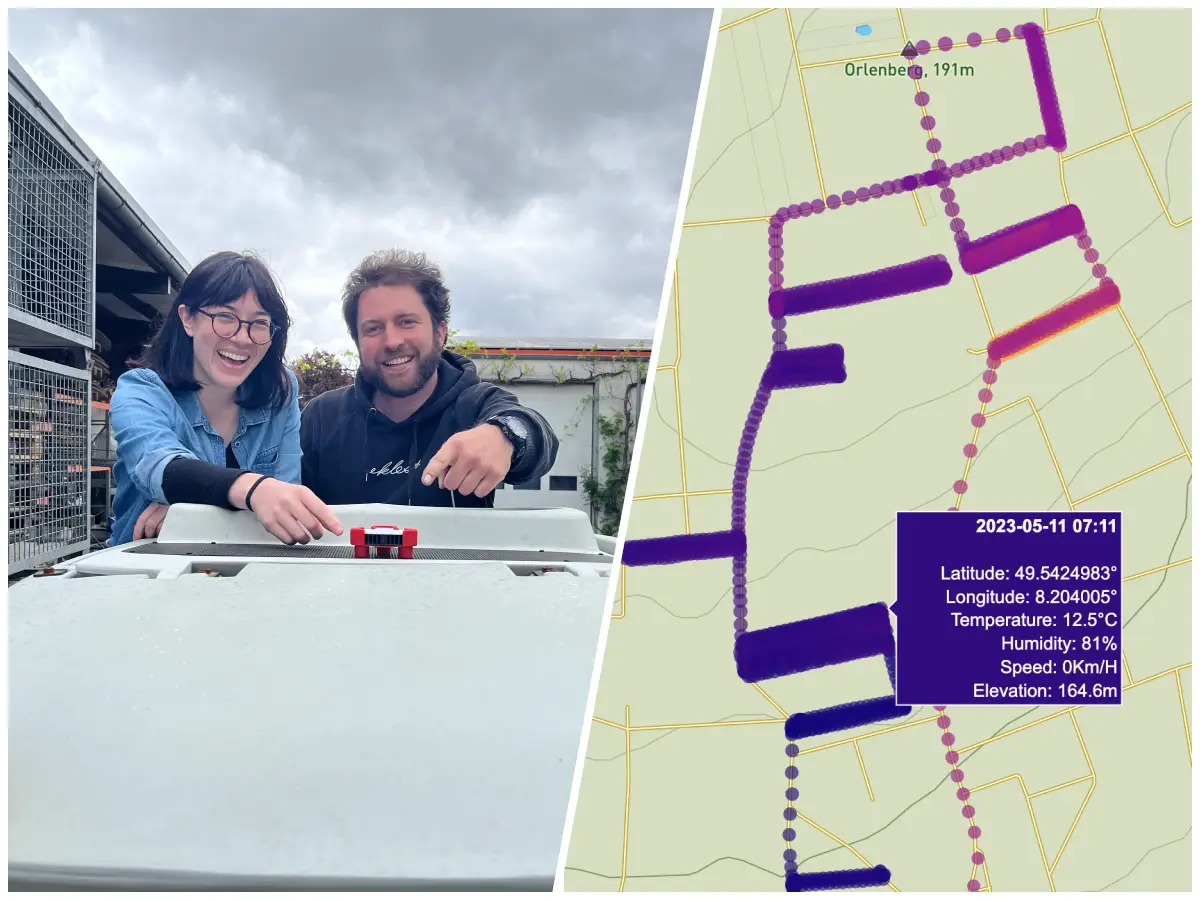
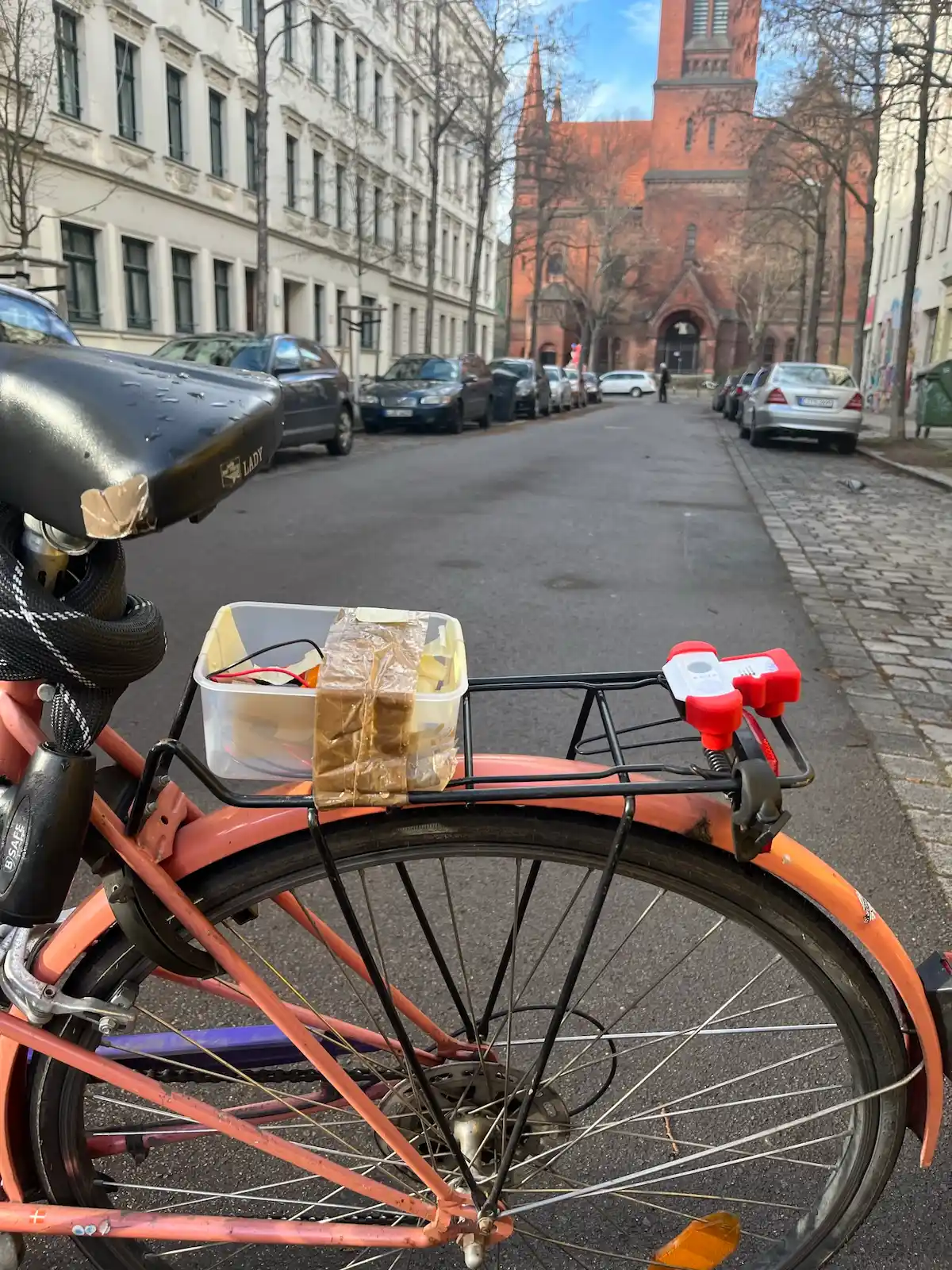
Fig. 2 & 3: Our data scientist Helyne takes the mobile MeteoTracker sensors on a tour of Leipzig to collect data.

Fig. 4: Temperature measurements from the DWD weather station in Leipzig are compared with those from the mobile sensor (within a radius of 500 metres around the station). Over the course of 2 hours, the average difference between the temperature measurements was 0.5 °C.
In addition, our study analysed the spatial distribution of sensor data to identify regions with specific microclimates in urban areas. We found statistically significant correlations between microclimate variations and local topographic features, such as elevation differences and vegetation cover. As expected, parks and forests tend to be cooler and wetter than built-up areas (Figure 5). This emphasises the ability of the sensors to detect these localised variations in environmental conditions.

Fig. 5: Map of the humidity measurements taken during a single journey through Leipzig. The humidity measurements were adjusted for long-term trends and standardised to show how they deviated from the average humidity values. Both the Nonne Forest and Clara Zetkin Park had higher humidity values compared to the more built-up areas in the city centre and along the main roads.
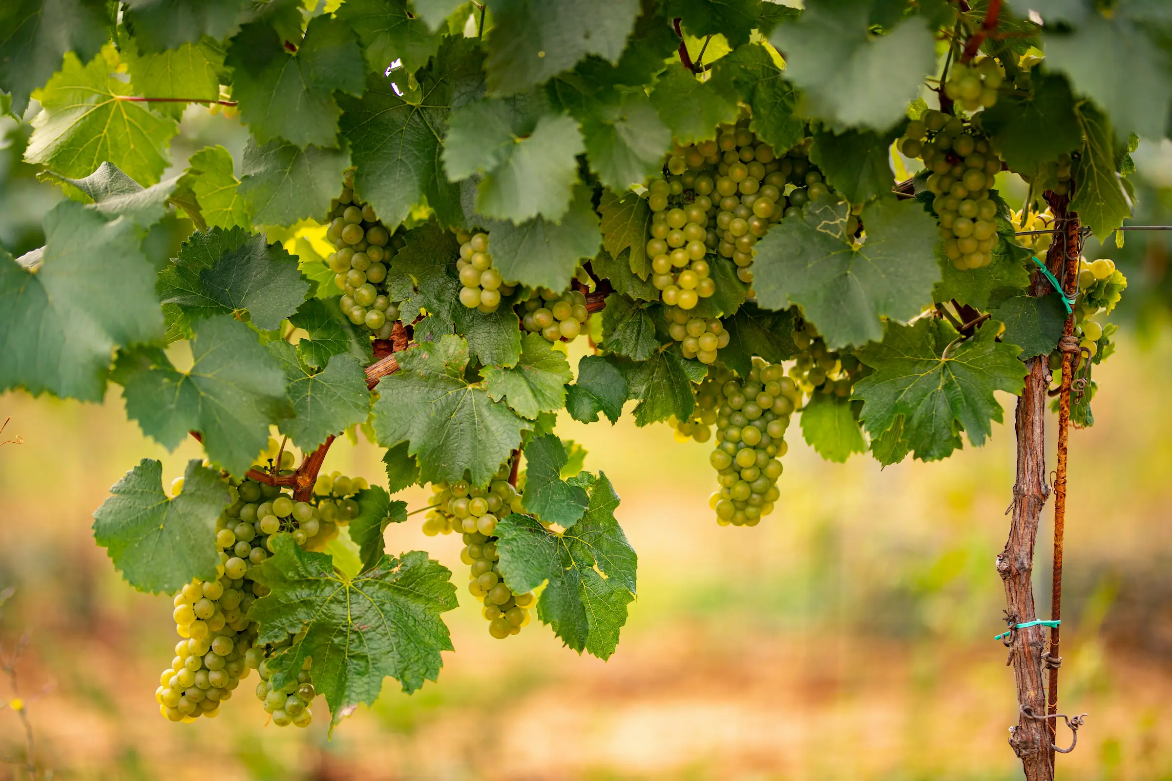
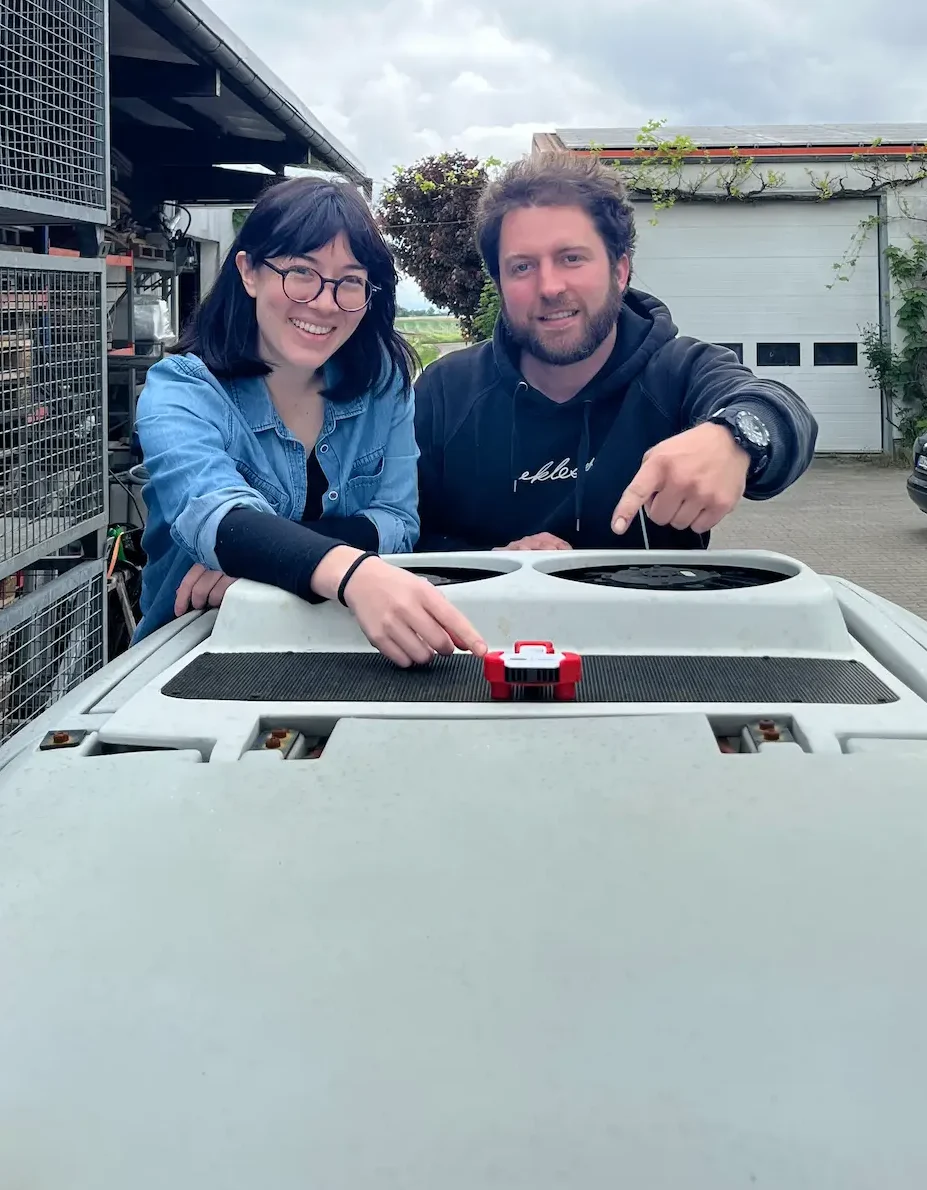
The first mobile sensors were installed and initial data collected during a visit to our project partners in early May 2023. The mobile sensor data collected by our partners will now be used in conjunction with our forecasting algorithms to calculate more accurate microclimate forecasts for vineyards. This is particularly important for vineyards, where the microclimate can have a significant impact on the quality and health of the grapes. The findings and feedback from the participants will also be of great value in advancing our mobile sensor system and its practical applications in viticulture.
Fig. 6 & 7: The installation of the mobile sensors at our project partners at the beginning of May.
Projects together with Osnabrück University of Applied Sciences
In addition to its own field trials, VineForecast has been supporting the „Robot of Vines“ study project at Osnabrück University of Applied Sciences since 2022 (https://www.hs-osnabrueck.de/loesungen-fuer-morgen/robot-of-vines/). In the project, the students developed a self-propelled weather station. To do this, they mounted a sensor system on a rover that uses GPS and RTK as well as a lidar sensor to navigate collision-free through the vineyard of the Weinhof Brinkmann navigated in the field test (Figure 8). Seven sensors measure air pressure, air temperature and humidity at a height of up to 2 metres.
Looking a little further into the future, the sensors may no longer need to be attached to a cultivation device, but will move autonomously through the vineyards and record data wherever the algorithm does not yet have sufficient training data.

Fig. 8Autonomous robot from the „Robot of Vines“ study project at Osnabrück University of Applied Sciences

